 The hike was absolutely amazing! On the way up, the road turned to dirt and we must have turned somewhere we were not welcome. Saw several people walking the road as we went up, and they gave us friendly waves, but you could tell that they were looking at us as outsiders. We stopped short of the trail head because my car couldn’t handle the road. At first we parked too close to somebody’s house, and he came out and politely informed us that we shouldn’t park on that guy’s property, that he “didn’t know what he might do to my car”. But he did say we might be able to park down the street. He also said that this was just an access road and that the actual trail up mount Thorodin was on the other side of the mountain. We would not be deterred, we found somewhere else to park and went on with the plan.
When we got to the top there was a little platform to rest on:
Here is our GPS track…
Click To View Starr Peak Hike KMZ in Google Earth
There wasn’t that much snow, but in some banks we got as deep as our knees. Nobody had been up the road since the snow.
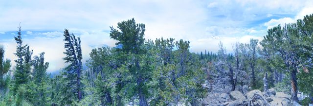
From the top we saw an expansive view to the west, unfortunately we could not see to the north or the east due to a large bank of clouds below us.
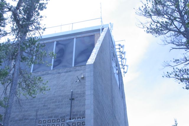
The station up there is quite a striking building. Must have been a huge challenge to build. 
Here are the panoramas:
Station from below (click to view on panoramio).

Station from behind (click to view on panoramio)

View to the south/southwest (click to view on gigapan)

Here is our peak elevation of 10436 feet (from the GPS status app):

My wife took this picture on the way down..

On our return, we found a tag on my car for being an abandoned vehicle, but it was intact. The mission was a complete success!